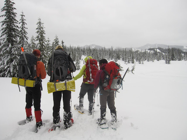
Today we attempted to summit Mt. Catherine. We failed to make the summit by 893ft as we had hit our agreed upon return time of 1pm. We had agreed on this time as bad weather was supposed to hit around 4pm and we did not want to take the chance of getting stuck in it. We did encounter some light rain on our way back down but fortunately made it to the car before the sky really opened up. I think everyone was a little disappointed in the end that we were so close to the summit yet we were unable to obtain it. But as Ed Viesturs says “Getting to the top is optional. Getting down is mandatory.”
Driving Directions:
From Seattle, drive east on I-90 to exit 54 (signed "Hyak"). At the bottom of the ramp turn right onto Hyak Drive East. Park in the lot for Hyak Ski area (on right). To begin hike leave parking heading north on Hyak Drive East. Then turn left (west) onto Snoqualmie Drive. Walk for about a tenth of a mile to where the telephone wires cross the roadway. Begin hike here headed west (Iron Horse Trail). At about 3200ft start heading sw toward Mt. Catherine.
*Please note these are directions during the winter months when you may be unable to drive up the forest service road 9070. This hike will be almost twice as long as it is during the summer months.


No comments:
Post a Comment