 |
| Scott and Isabel, my hiking companions! |

 |
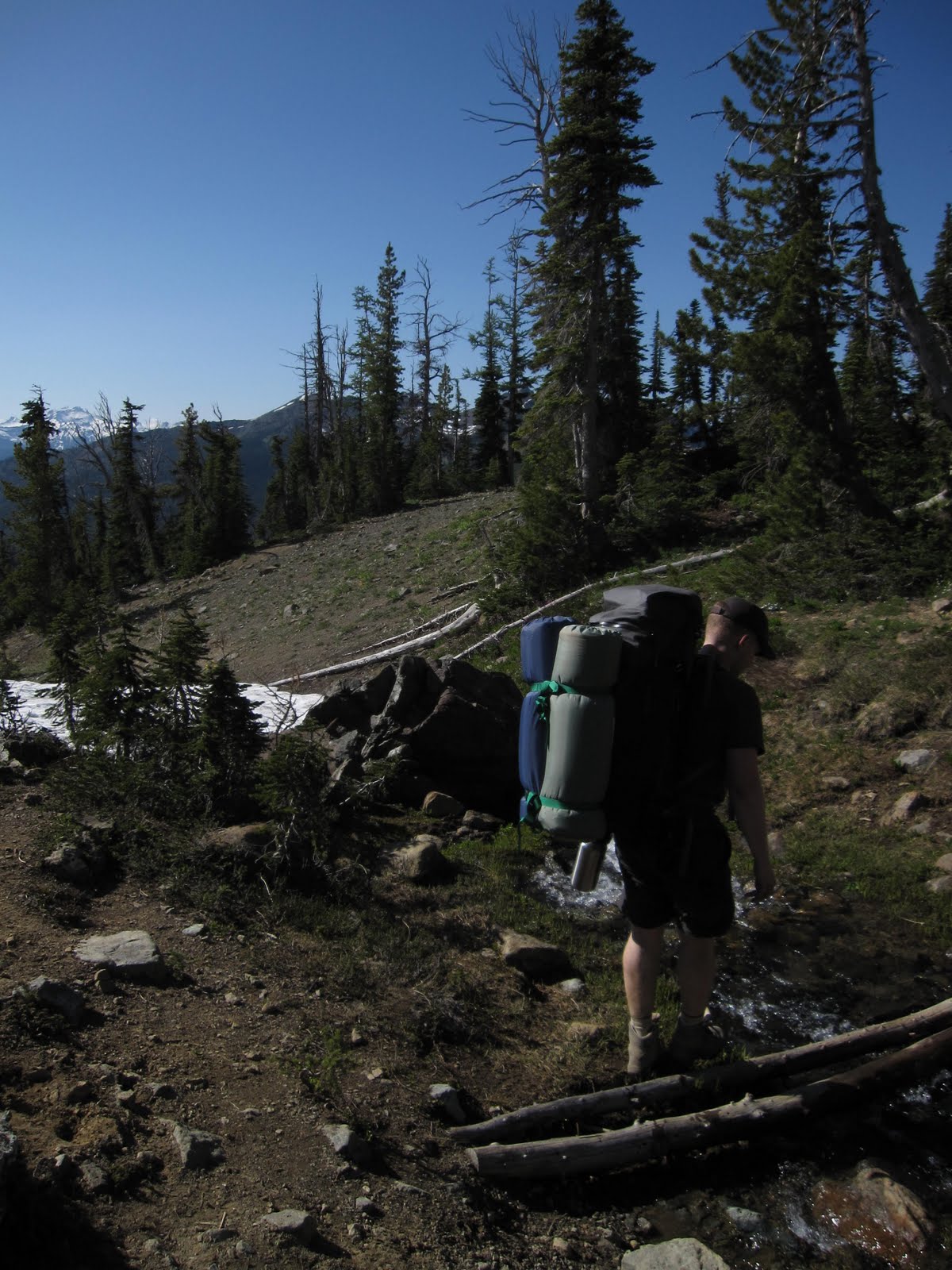
| There were several stream crossings along the way. |

 |
| Break time! |
 |
| The trail is pretty steep in places |
 |
| View of Mt. Rainier, Day one! |
 |
| The trail levels off about 3/4 of the way up to the summit for a short distance before once again steeply climbing. |
 |
| View of Lake Ann from the top..... you only need to traverse down from here! |
 |
| Scott headed down the path to Lake Ann! |
 |
| Me and the August snow! |
 |
| Isabel |
 |
| Fun in the Snow! |

 |
| Caution! Stream Crossing. |
 |
| The view from our camp. |
 |
| Setting up the tent. |
 |
| Isabel, tired after a long days work. |
 |
| Hanging out in the tent to avoid the mosquitos |
 |
| The moon above the ridgeline. |
 |
| Sunset |
 |
| Isabel, prepared with her flashlight. |
 |
| Early morning view. |
 |
| Wildflowers in bloom. |
 |
| Me in the morning. |
 |
| Packing up camp, making sure to leave nothing behind. |
 |
| Reflection off Lake Ann. |
 |
| Mt. Rainier, Day Two |
 |
Headed home.
|
This weekend my friend Scott and I hiked up to Lake Ann to camp with my dog Isabel. We had decided to do a quick overnight trip to test out our gear and get used carrying fully loaded packs. We took the Esmeralda basin trail up to Lake Ann. The Esmeralda Basin Trail begins on an old mining road and climbs beside the North Fork Teanaway River. It is about four miles and gains considerable elevation, passing through meadows and topping an unnamed 6500' pass before dropping 300 feet to the lake. At 6200', the lake is at the timberline. The vegetation around the lake is thin. The east shore is a barren boulder slope rising 1000' to the top of Ingalls Peak. The weather was quite warm during the day but it got a bit chilly in the evening. This is one of the best hikes I've been on, and the scenery is simply unmatched.
Driving Directions: Exit I-90 east of Cle Elum. Take SR 970 north to the Teanaway Road. Follow the North Fork Teanaway Road to the 29 Pines Campground where the pavement ends at a fork in the road. Take the right fork, FR 9737, 10 miles to its end at trailhead #1394, Esmeralda Basin.
Follow the #1394 Esmeralda Basin trail, the first 1/4 mile of the trail is a bit rough and moderately steep following along a raging creek. At 2 miles the trail heads off to the right and switchbacks up the south slope of Ingalls Peak. The next trail junction is just beyond a small stream crossing at 5900', 3.1 miles from the trailhead. At this point follow the County Line trail #1226.2. The County Line trail #1226.2 climbs north to another lovely meadow, and then follows an old watercourse to an unnamed pass above tiny Lake Ann.
Please Note: Most of the Alpine Lakes do not allow Dogs!


No comments:
Post a Comment