 |
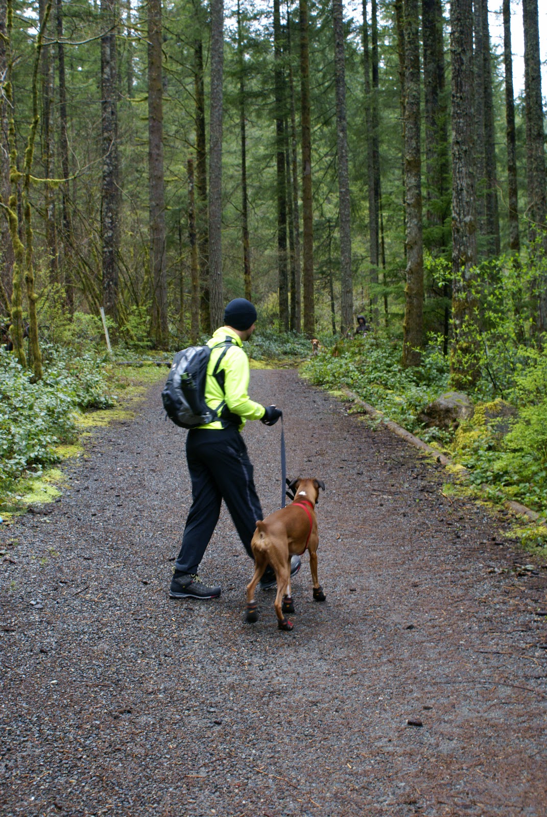
| James and Isabel head up the gravel road. |
 |
| Boxley Creek |
 |
| Cedar Butte Trailhead!! |
 |
| James and Isabel head up the trail. |
 |
| Despite his fluorescent green jacket, James seemed to totally blend in! |
 |
| Finding the way to the summit was pretty easy given the numerous trail markings. |
 |
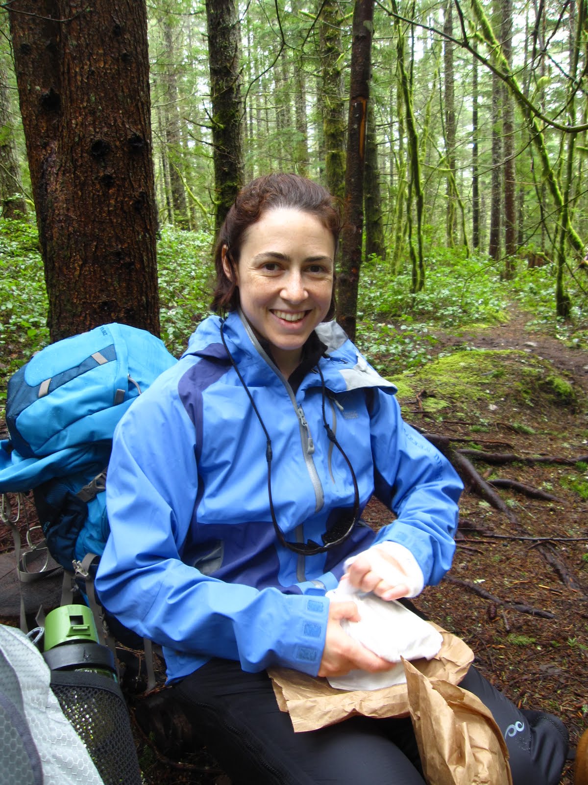
| Lunch time. |
 |
| All our trash was properly packed out using Leave No Trace Principals! |
 |
| Lake view |
 |
| Summit! |
 |
| James and Isabel take a break at the summit. |
 |
| The Summit View. |
 |
| The clouds started to move and the sun was attempting to come out! |
 |
| Sun Break!! |
 |
| Look we did get some beautiful blue skies on our descent! |
 |
| While photographing this wildflower I was startled by a hummingbird, who appearently was appreciating this flower as much as me. |
 |
| More Wildflowers! |
 |
| James and Isabel make it back to the gravel road. |
 |
| James couldn't help but take one more peek at Boxley Creek! |
 |
| Rain started coming down heavy on our way back out the gravel road to the parking lot. |
 |
| But as soon as we arrived at the car, the sun shone again! |
Even the typical unpredictable Pacific Northwest weather would not stop me from hiking today. Armed with my four-legged companion Isabel, my best friend James, some rain gear, and my trusty backpack, we headed up the trail to Cedar Butte. Cedar Butte is a three mile round trip trail with approximately 900 ft elevation gain up to the summit at 1880 ft. It is one of the quietest and least traveled trails within the Snoqualmie Pass corridor. The trail was quite muddy in places but the dense lush mossy forest was so breathtaking I didn't hardly notice. All in all a perfect day for a hike.
To get to Cedar Butte take I-90 East from seattle. Take the first right off exit #32 (436th Avenue SE) which will turn into
Cedar Falls Road SE. Drive about 4.5 miles, passing the Rattlesnake Lake parking area, until you find the Iron Horse Trailhead parking area on the left. Head down the gravel road for a bit, take a left at the T in the road. Follow that road until you cross over the Boxley Creek bridge. Then head approximately an addional .25 mile and you will see the Cedar Butte Trail sign and trailhead on the right.
Links:
http://www.wta.org/go-hiking/hikes/cedar-butte
http://www.lnt.org/


Beautiful pictures. Enjoy your site,blog- whatever these are called. Getting back into hiking,back packing, and climbing here in California. It's nice to see what is out there in other states. Recently started a blog myself, primarily about motorcycles, but I'll probably digress into outdoor adventure stuff ocasionally.Your trip to Las Vegas area brought back memories of a climbing trip from a few years back. The approach through the desert to the base of the climb was one of the nicest hikes we've done. Keep on hikin'.
ReplyDeleteDid you notice the misspelling on the summit marker? Ceder Butt, heehee!
ReplyDelete