Sunday, September 11, 2011

Mt. Rainier National Park, Skyline Loop Trail 9/11/2011

"...the most luxuriant and the most extravagantly beautiful of all the alpine gardens I ever beheld in all my mountain-top wanderings." -John Muir, conservationist, 1889

Started the paved trail of the skyline trail....don't worry ii is not all paved!

James and Mt. Rainier

Me and Mt. Rainier

Wildflowers were in bloom in the meadows.

James and Jennifer


First of many snowfields!

James and I taking in the scenery!

Beautiful waterfall on Mt. Rainier. (left in above picture)

Ah, such beauty!

James and Jennifer admiring the views.

"Steep & Icy Trail Conditions"


We headed down the snowfield from that upper ledge.


Crossing the snowfield.

It was steep coming from the above ledge but quickly mellowed out.


This was the snowfield we just crossed.

Marmot.....I assume it was trying to cool off as it was over 80 degrees F today.


Perfect spot for a snack.


From this part of the trail you could view Little Tahoma.


Proof anything can happen on the trail. I took a fall after loosing my footing on some scree on the way down the hill.


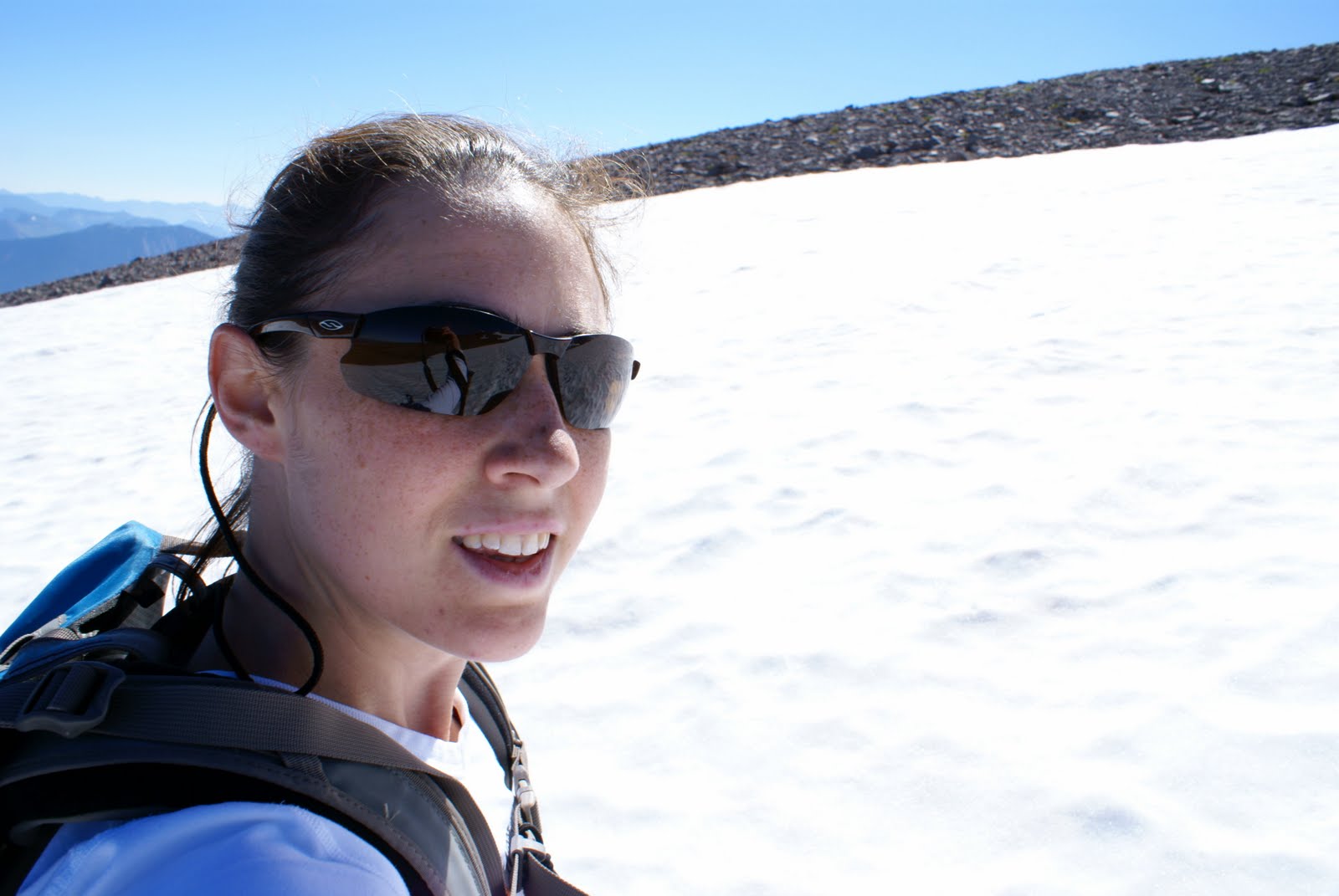
Even with the sting of pain from my recently acquired wounds I'm still smiling......because it's so beautiful out here it's hard not too!


Last view of Rainier for the day.
After an amazing morning at the Rainier Mountain Festival my friends and I decided to enjoy a hike. We had already agreed upon hiking the Skyline Loop Trail in the Paradise area of Mt. Rainier National Park. Although the weather was quite warm the scenery was beautiful. I did take a fall with approximately a mile and a half left to hike. It was painful but not unbearable and I was able to hike the rest of the way without assistance. Once we got back to the car I cleaned my wounds and provided basic first aid until I could get home. When we left the park we stopped for dinner and some delicious Blackberry pie. Despite my minor injuries it couldn't have been a more perfect day.

Click on link to check out my blog from earlier in the day at the Rainier Mountain Festival.


Start time: 1:59pm
End time: 5:49pm
Total time: 3 hours 50 minutes
Distance: 5.69 miles
Speed: 1.4 miles/hour
Peak Elevation: 6,789 ft
Elevation Gain: 1,258 ft
Total Ascent: 2,487 ft
Total Descent: 2,583 ft

* Please note, I started my GPS a bit after I started hiking so the trail is actually a bit longer. WTA estimates it at 6 miles. All information posted is based off my GPS.


Directions: From Tacoma, drive east on State Route 7 to Elbe, then veer left onto SR 706 to enter the park at the Nisqually Entrance near Ashford. Continue east along the Nisqually Road to the Paradise Lodge parking area. Park in the large parking lot and find the trail near Paradise Lodge.

Links:
http://www.wta.org/go-hiking/hikes/skyline
http://www.rainierfestival.com/

Rainier Mountain Festival 9/11/2011 (Best day ever!)

Yep, that's right.......Me and Jim Whittaker (First American to reach the summit of Mt. Everest; May 1, 1963.)

Jim Whittaker autographing a copy of his autobiography for me. Its inscription reads: "To Cheryl- Good Luck on Mt Rainier! Jim Whittaker".  He said to me, "now that's it written you have to complete it." Well, I promise Mr. Whittaker I will summit Mt. Rainier. Also pictured is Jim's wife, Dianne.

Today was an amazing day......It was the annual Rainier Mountain Festival in Ashford, Wa. I met several highly regarded mountaineers. But, I was most star struck by Jim Whittaker (although it is quite difficult to tell him apart from his twin brother Lou, who is also a highly regarded mountaineer.) Jim Whittaker autographed a copy of his autobiography and a poster for me. We briefly discussed the Portland Marathon (as I was wearing my 2010 Portland Marathon Shirt) and mountaineering. He asked me if I was going to climb Rainier and I said "I hope to someday." He inscribed my copy of his book "To Cheryl- Good Luck on Mt. Rainier!" Then he said, "now that it's written you have to complete it."

I also had the pleasure of meeting Jim Davidson, a mountaineer, who recently wrote a book entitled "The Ledge: An Adventure story of survival and friendship on Mount Rainier." I will be reviewing this book as I have already finished reading it. It is a truly captivating read.

I will also review Jim Whittaker's autobiography "A Life on the Edge: Memoirs of Everest and Beyond" when I finish reading it.

After meeting mountaineering legends it seemed only natural to go for a day hike in Mt. Rainier National Park. My friends James and Jennifer accompanied me on that hike, we took the Skyline Loop Trail from Paradise (click on the link for my blog of that hike).


Links:
http://www.rainierfestival.com/
http://en.wikipedia.org/wiki/Jim_Whittaker
http://jimwhittaker.altrec.com/jimwhittaker/edge/
http://www.speakingofadventure.com/the-ledge/

Monday, September 5, 2011

Mt. Rainier National Park, Burroughs Mountain 1, 2, & 3 : 9/05/2011

Mount Adams can be viewed on a clear day from the Sunrise viewpoint facing south.

Starting off another glorious day hike!!

I took the Sourdough Ridge trail to Burroughs Mountain trail.

View of Mt. Rainier from the Sourdough Ridge trail.

Heading up to First Burroughs. "Caution steep icy slopes ahead. Ice axe recommended"

Mountain Goats on ridge line of First Burroughs

Thankfully a very kind gentleman used his ice axe to break up the tracks to allow for an easier, safer route. These snowfields were tremendously treacherous this morning as they were frozen over solid. Care must be taking when hiking in this area. I believe many people underestimate the danger that exists. Just 2 days ago someone was very badly injured after falling.


Trail from Second to Third Burroughs.

Snowfield

Little Tahoma


Winthrop Glacier from atop Third Burroughs.

Closer view of Winthrop Glacier.

Me, atop Third Burroughs.

A few of the folks (a Russian on vacation and a father/daughter) I met above Third Burroughs.... glissading down the mountain.

The "unmarked" trail you travel to and from Third Burroughs.

Trail from Second Burroughs to First Burroughs. Note: Frozen Lake in the center of the picture.

Snowfield on First Burroughs was definitely easier to travel in the afternoon as the sun allowed for some thawing. This in turn allowed for better grip on the snow.

Frozen Lake

I then took the Wonderland trail towards Shadow Lake.

Wildflowers on the Wonderland Trail.

Mt. Rainier from the Wonderland Trail nearing Sunrise Camp.

Shadow Lake

Tadpole
Dragonfly


Tatoosh Mountains

I then headed down the Emmons Vista/Silver Forest trail to kill a bit more time before heading home.

Emmons Vista

Back to the parking lot......time to head home.


I finally made it to Third Burroughs!!! I was glad for such a beautiful sunny Labor day. (Nothing beats having a day off work, execpt maybe a day off work with hiking involved.) I took the Sourdogh Ridge trail past Frozen Lake to the Burroughs Mountain trail.

The snowfields up to First Burroughs were difficult as the were frozen solid. I was thankful that the park rangers were notifying people of the danger, as I have seen many people unprepared for the conditions. Just two days ago someone fell from one those snowfields atop First Burroughs and was badly injured.

I really enjoyed the views from atop Third Burroughs, Winthrop Glacier is an amazing sight to behold. Unfortunately, the views to the north were not as good as last week due to heavy smog from forest fire on the Olympic Penninsula.

Start Time: 08:51 am
 End Time: 16:50 pm
Estimated Time on trail: 7 hours 40 minutes
Estimated time hiking: 6.5 hours
Approximate Distance: 10.43 miles
Average Speed: 1.6 miles/hour
Peak Elevation: 7,844 feet
Elevation Gain: 1,439 feet
Elevation Loss: 178 feet


Driving Directions: From Enumclaw,WA drive east 43 miles on State Route 410 to the Mount Rainier National Park White River Entrance. Veer right onto the Sunrise Road and follow it 17 miles west to the large parking lot and visitor center at the road's end.

www.nps.gov/mora/

Please check out my other blog posting of Burroughs Mountain.


Sunday, September 4, 2011

Verne Samuelson Trail & Hurricane Ridge, 9/04/2011

Verne Samuelson Trailhead

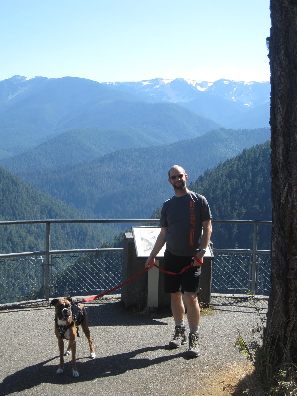
Me, Isabel (dog) and Matt.

James


Matt, our fearless leader who even protected Isabel from a Garter snake.

Proper hydration during a hot day!

Isabel and I on top of Hurricane Ridge. Unfortunately dogs cannot go on the trails up here so we just took in the views from the visitor center.


Deer Crossing!

From this viewpoint you are looking out at the town of Port Angeles and the Strait of Juan de Fuca. To your left will be Victoria, British Columbia Canada. Straight ahead is the San Juan Islands and off to the right is Mt. Baker.

James and Isabel taking in views of the Olympic Mountain Range.
Well, my weekend plans for camping at Moonshine Flats off the Colonel Bob Mountain didn't quite materialize as planned. So after making a few adjustments my friends and I stayed over night in Port Angeles and decided to do a day hike the next morning. 

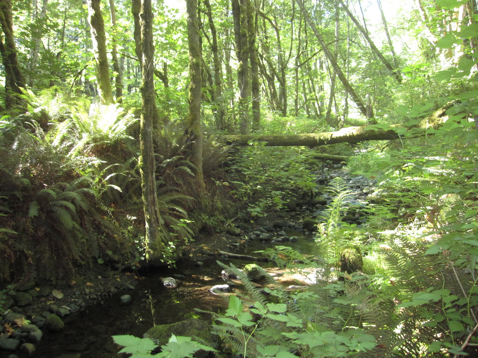
So this morning we hiked the Verne Samuelson Trail as it was dog friendly. It is an easy 3 mile round trip hike that runs along Valley Creek.

Next we headed up to Hurricane Ridge for some spectacular views of the Olympics. Due to the fact dogs are not allowed on the trails, we were unable to do any of the hikes.

Directions to Verne Samuelson Trail: Within Port Angeles, head west on Hwy 101, then take a right on Pine St. At stop sign turn left on Black Diamond Rd. Follow for 1 mile, then turn left on Wellman Rd. Trailhead parking is at the end of Wellman Rd., .2miles.

Directions to Hurricane Ridge: Follow the signs off the US highway 101, which circumnavigates the Olympic Peninsula.