Sunday, February 26, 2012

Mailbox Peak 2/26/2012

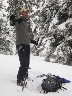
Me


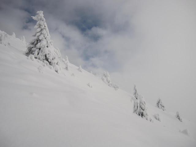
Snow blanketed everything!


It snowed throughout our entire ascent.

Jan and Alex

Me, Alex and Alastair (Photo taken by Jan)

Alex and Jan climbing up towards the summit.

The sun even graced us with its presence in the afternoon.

Me and Bao under blue skies during the final push towards the summit.

Me

Alex

Our group at the summit! (Left to Right: Bao, Me, Alastair, Jason and Alex. Photo taken by Jan)

Dirtybox Peak


Jason and Dirtybox Peak


The sun made the summit quite warm!

Headed back down. (Me, Jason and Alex. Photo taken by Jan)


Lunch time!! (Left to Right: Jason, Me, Alastair and Bao. Photo taken by Jan. Alex not pictured)

Beautiful views!


Alex


Finally, the road towards home.

My newly acquired Nalgene bottle injury.
My friends and I went for a hike up Mailbox Peak today due to really high avalanche danger elsewhere. I had never been on this particular trail, but I had my fears. Locally it is known to be quite grueling. Perhaps it is the 4000ft of elevation gain in 3 miles. Or maybe is the sign at the trailhead that reads: "Mailbox Peak Trail is a very steep, wet, unmaintained, difficult, challenging trail ... Search and rescue teams are frequently called to this trail to assist distressed hikers. Please respect your own ability." But despite my fears I found the hike to be enjoyable. I did however prefer the hike up rather then the descent. The descent was tricky at best with slick snow covered tree roots and the eroded soil. Even with microspikes I fell a least a dozen times. One time in particular  was quite painful as I fell onto my nalgene water bottle and bruised my ribcage. Despite the perils of this trail I look forward to attempting it again.


Driving Directions: From Seattle, drive east on I-90 to exit 34 (Edgewick Road). Turn left (north) onto 468th Street and follow it to the junction with the Middle Fork Snoqualmie Road (Forest Road 56). Turn right and continue up the Middle Fork Snoqualmie Road to the end of the pavement (about 3 miles from the I-90 exit). Turn right onto a gated road and park, being sure not to block the gate.

Monday, February 20, 2012

Hex Mountain Snowshoe 2/20/2012

Our hike

Jason, Jan, Moa and Alastair  routefinding.


The group looks out over Cle Elum Lake.


Hex Mountain summer trailhead.

Our trailblazing!! (Photo taken by Jan)

(Photo taken by Moa)

The group starts up the summer trail. Notice the snowball Jan is creating.


Jason photographs us. (Photo taken by Jan)


Notice all the cornices that had been created by the wind.


Winding through the trees during the final push to the summit.

Alastair, making memorable summit photos! (Photo taken by Jan)

(Photo taken by Moa)

Me, Jason, Alastair and Jan on the summit. (Photo taken by Moa)

Moa, Me, Jason and Alatair.  Oh, and who could forget the snowball made by Alastair. (Photo taken by Jan)

The Summit!!!!


                        Me at the summit!! (Photo taken by Jason)

Jason cooks up brats and cabbage for carnival. (Photo taken by Moa)


Brats and cabbage.

Jan celebrates carnival!

(Photo taken by Jan)

Jan demonstrates use of a picket for an anchor.


Alastair helps out his mentor.

Jan and Alastair create a deadman anchor.

Today,  I hiked up Hex Mountain. It was a beautiful trip and the weather was quite nice on the eastern side of the Snoqualmie Pass. I prefer snow to rain just about any time. My companions for today's snowshoe adventure were a lively bunch.   I have officially celebrated my first German Carnival. Our celebration was complete with German beer (turns out we're not big on drinking and hiking as the 5 of us split one beer). We also were taught by Jan about deadman anchors and pickets.

The trail up Hex is quite steep but it has excellent 360 degree views of Mt. Rainier,  the Teanaways and the Stuart Mountain Range. Especially, when the weather cooperates. The snowshoe trail begins on an old logging road which winds its way steadily upward through forest for about 1.7 miles until you reach the official summer Hex Mountain trailhead at about 3400 feet. Please note the trail (logging road) seems to split at around 2000ft of elevation, continue towards the right to stay course to reach the summer trailhead.


Directions:

From I-90, take Exit 80 toward the town of Roslyn. Got north on the Bullfrog Cutoff Road and at the T-intersection, take a left on S.R. 903.  After 9 miles and passing through Roslyn and Ronald, go right on F.R. 116.  If plowed, park here; otherwise, backtrack down S.R. 903 a couple hundred yards to a plowed area on the west side of the highway near Newport Creek.  No pass is necessary in winter.  You'll start by hiking up F.R. 116